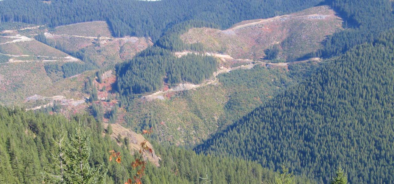
How did Northwest land end up in a checkerboard of land use?
Grants to the Northern Pacific Railroad in the 19th century set up a pattern of public and private lands that placed homesteads, towns, tree farms, and federal forest reserves intermingled with each other, all defined by railroad tracks.
Join Charlie Raines, Director of the Sierra Club Cascade Checkerboard Project, as he shares newly created maps that show the pattern from Puget Sound to the Columbia River as it evolved over 150 years.
History Café is produced as a partnership between MOHAI and HistoryLink. Photo: Charles Raines
Detailed information on how to participate will be provided via email following your registration. Space is limited, so register soon!
Real-time, automated captioning is available during the program. For additional support, contact [email protected].
As a catalyst for relevant community conversation, MOHAI’s public programs include a diverse range of speakers and perspectives related to life in our region, past and present. In presenting this program MOHAI does not endorse or advocate any specific policies represented by the speakers, their organizations, or the co-presenters.
Related Events
Living Voices: Journey from the Dust
@ MOHAI
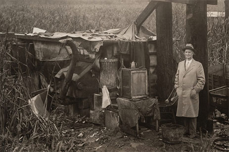
Share the story of America’s families confronted by the stock market crash of 1929 and the Dust Bowl.
Behind the Seams: Fashioning Gender
@ MOHAI
Pink for girls? Pants for boys? From color to cut, what we wear is infused with our era’s ideas about gender.
History Café: Love and Modems
@ MOHAI
In the days of the early internet, emerging digital LGBTQ communities found revolutionary possibilities for not only building community, but also...

Living Voices: Within the Silence
@ MOHAI
In 1942 Roosevelt’s Executive Order 9066 imprisoned thousands of loyal American families.

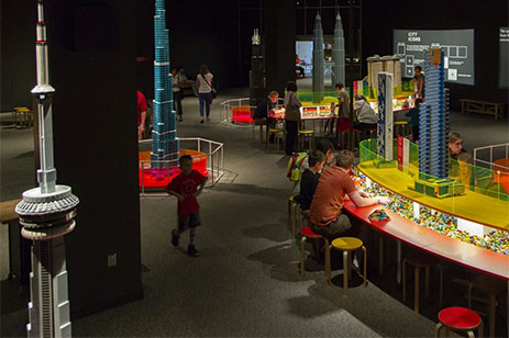
Exhibit Opening: Towers of Tomorrow
@ MOHAI
Towers of Tomorrow with LEGO® Bricks On view from May 25 to Sep 2, 2024
Related Businesses
MOHAI
Highlighting innovation and education, MOHAI (Museum of History & Industry) enriches lives by sharing the individual and collective stories...